The Bentley project is situated approximately 45 kilometres north of Warburton and 550km east of Laverton, in the West Musgraves. The project area is within vacant crown land, with heritage agreements to be negotiated.
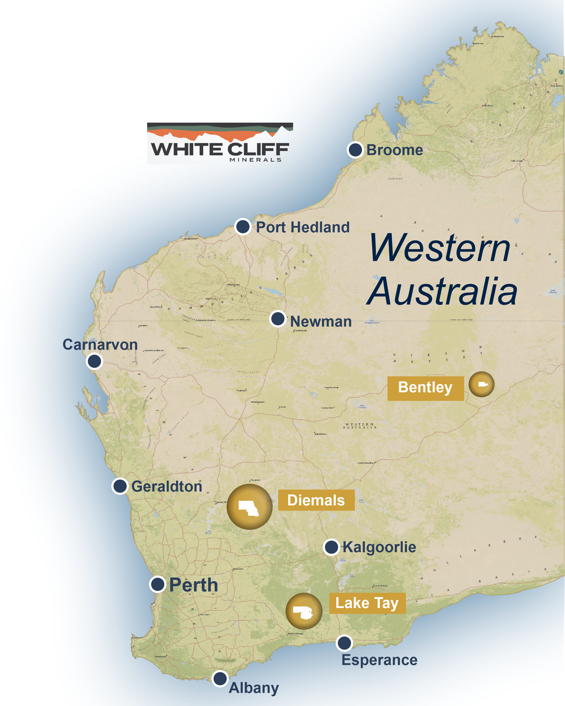
Regional Project Locations
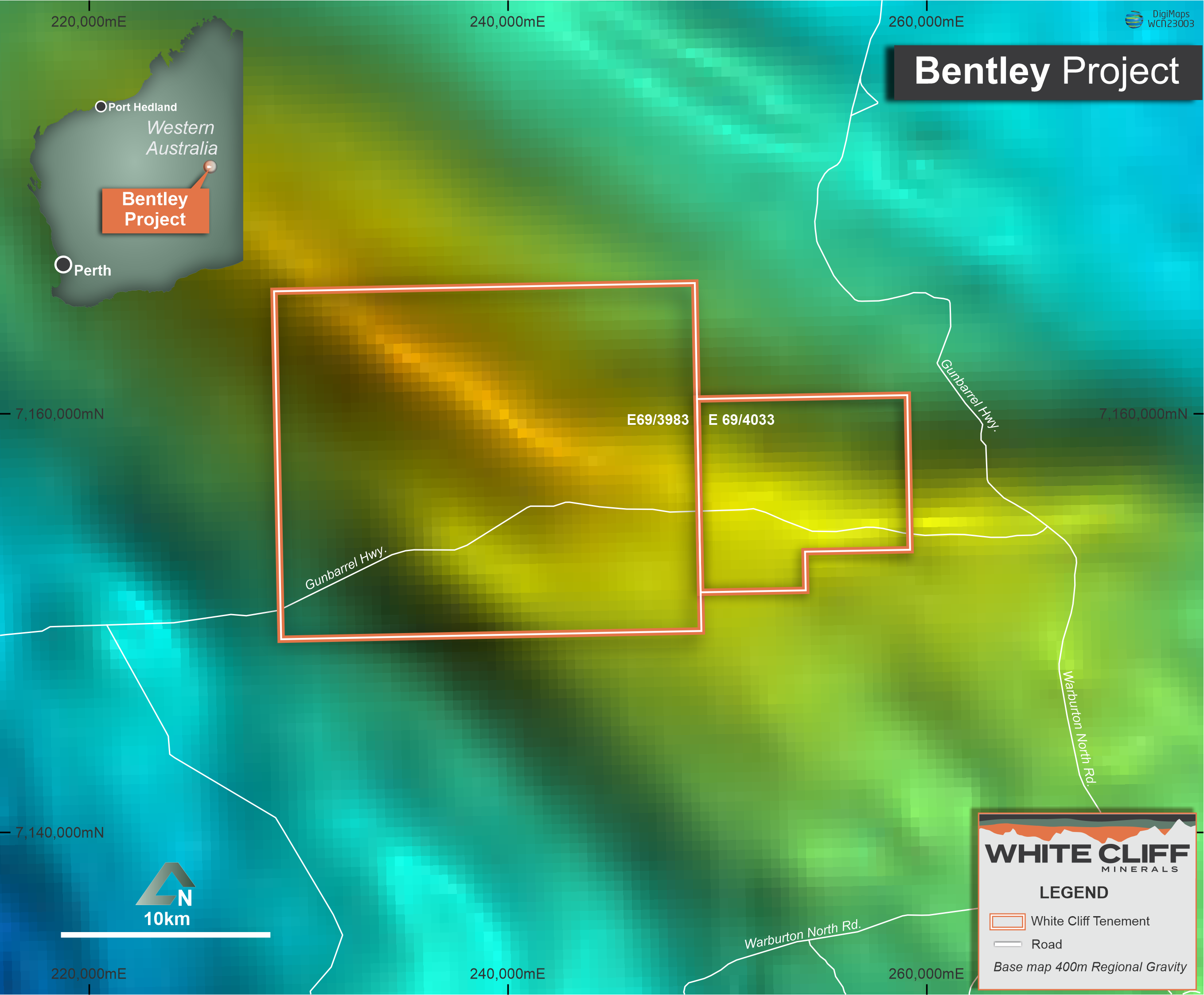
Bentley GSWA regional gravity data
In 2000 – 2001 BHP Billiton Minerals (WAMEX report A064098) explored the Mount Charles and completed two diamond drillholes targeting coincident gravity and magnetic anomalies.
BHP believed that the Musgrave Complex had potential for IOCG – type mineralisation based on exploratory work completed by Western Mining Corporation some years previously. BHP’s two drillholes intersected mafic intrusive rocks and interpreted metasediments. Most importantly, the drilling showed pervasive fine grained hematite alteration, a common feature of IOCG – type deposits.
The drilling appears to occur on the northern flank of more recent regional gravity survey data, which suggests the BHP drill holes were ~4km too far north.
The gravity anomalies trend in a northwest direction over a distance of approximately 9km and are flanked to the north and south by two major thrust faults.
There is no outcrop in the area so the supposed bedrock is entirely interpreted and based on GSWA mapping. The target unit in the Giles Formation.
IOCG mineral deposits commonly share similar characteristics that are indicative of this type of mineralisation. Mount Charles also has most of these exploration criteria as indicated below:
Next Steps
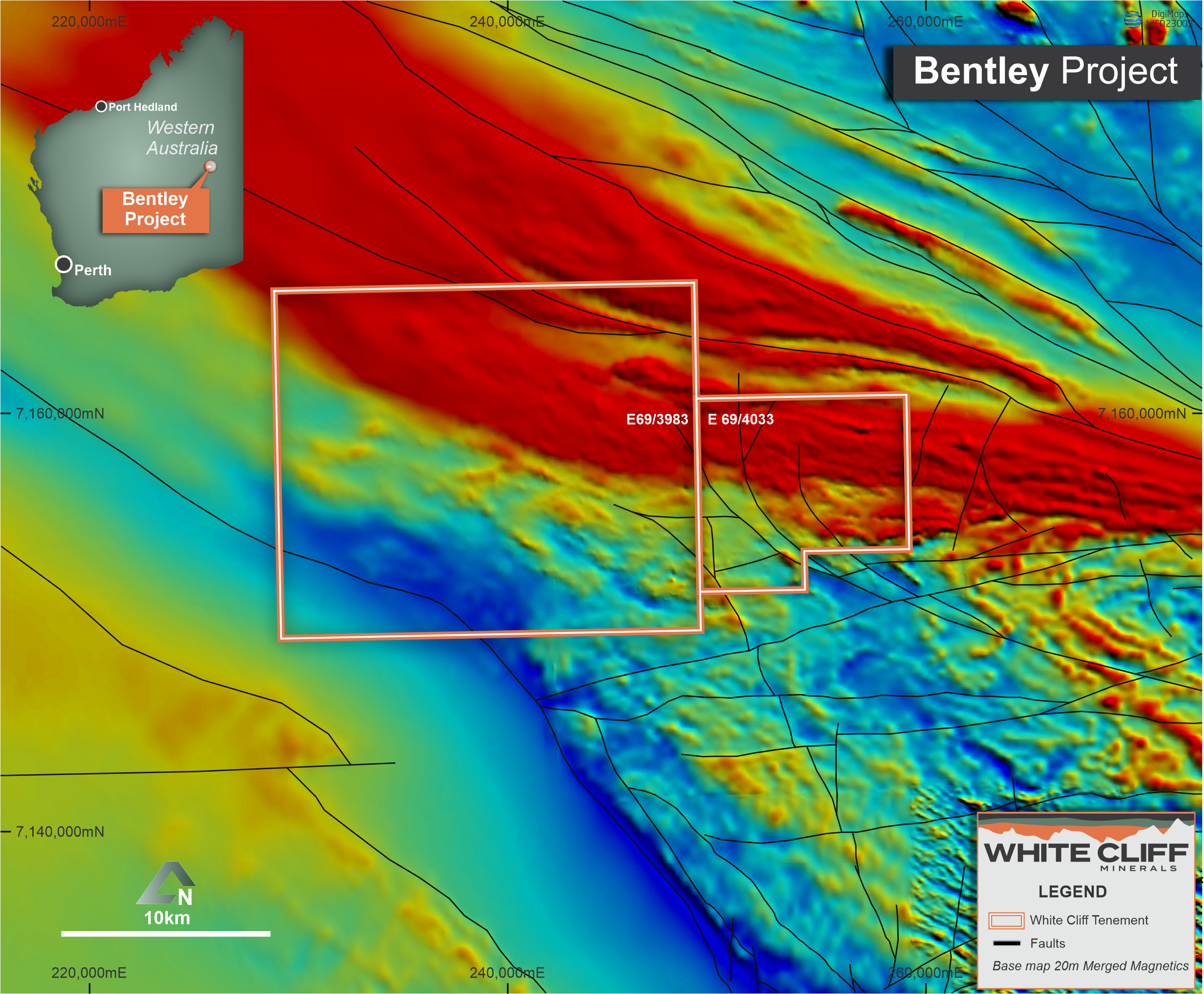
Mount Charles/Jackie Junction GSWA regional magnetic data with interpreted structures.
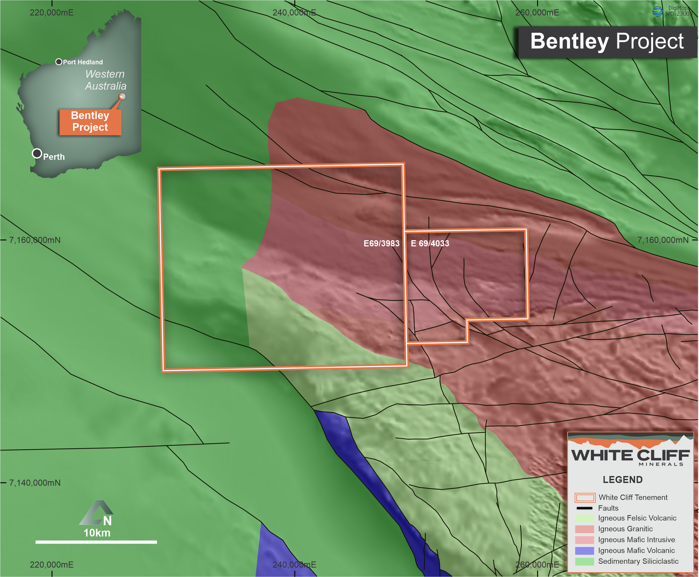
Mount Charles/Jackie Junction GSWA Interpreted basement Geology and structures.